The Best Hikes in Issaquah
Last Updated on February 22, 2024
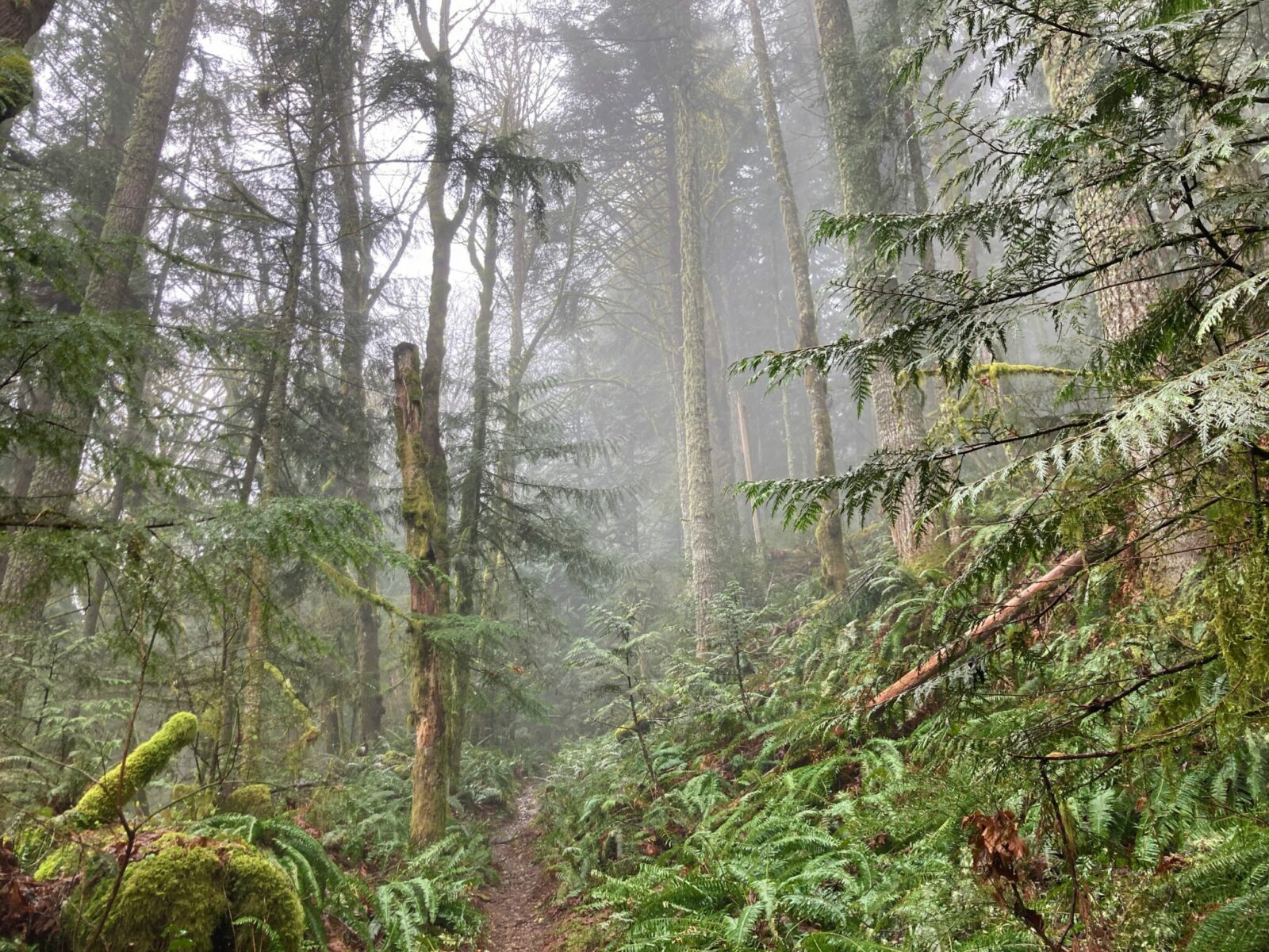
The foothills of the Cascade Mountains surrounding the town of Issaquah are locally referred to as the Issaquah Alps for their multitude of wonderful hiking trails! These hikes in Issaquah are a short drive for residents of Seattle and Bellevue. Some of these hikes are extremely crowded but others will bring you solitude. This is noted in the details about each hike (read my tips for finding less crowded hikes here). The theme of hikes in Issaquah is impossibly green forests with some spectacular views. These hikes are generally snow free all year, although in heavy snow years or cold snaps you may encounter snow in winter.
I’m a born and raised Seattleite who has hiked these trails since childhood. I love helping others find new trails along with old favorites.
All these hikes in Issaquah welcome dogs on leash and are all within 5 miles of downtown Issaquah. Parking and transit information is included below.
Issaquah and the surrounding mountains and hiking trails are the homeland of the Duwamish, Snoqualmie and other Coast Salish people.
Related: Best hikes near North Bend, Best hikes in Bellevue
- Lake Sammamish State Park
- Grand Ridge Park
- May Valley Loop
- Poo Poo Point
- Tradition Lake Loop
- West Tiger #3 or #1
- Middle Tiger Mountain
Lake Sammamish State Park
- Type of Hike: This is a flat hike in a busy state park. Lake Sammamish State Park is more than just a fun beach at the lake, there are lots of forested miles of hiking to be found here too.
- Best season: All year! It’s much more crowded in the summer and this makes a great winter or early spring hike. In fall there are salmon spawning in the creek.
- Why it’s one of the best hikes in Issaquah: Flat and beautiful with plenty of birds and a beach for relaxing afterwards.
- Watch out for: crowds in summer
- Distance: 2 miles of trails, you can add more by adding more loops or adding walks thorough the surrounding area.
- Elevation Gain: Minimal
- How to get there: If driving, take I-90 to 17th and the park is located just north of the freeway (near Costco) at the south end of Lake Sammamish. If taking transit, get off at the Issaquah Transit Center and walk a mile to the park.
- Parking and Transit: Parking here requires a Washington State Discover Pass. The park is about a mile from the Issaquah Transit Center, which has regular bus service to downtown Seattle.
Grand Ridge Park
- Type of Hike: Forested climb
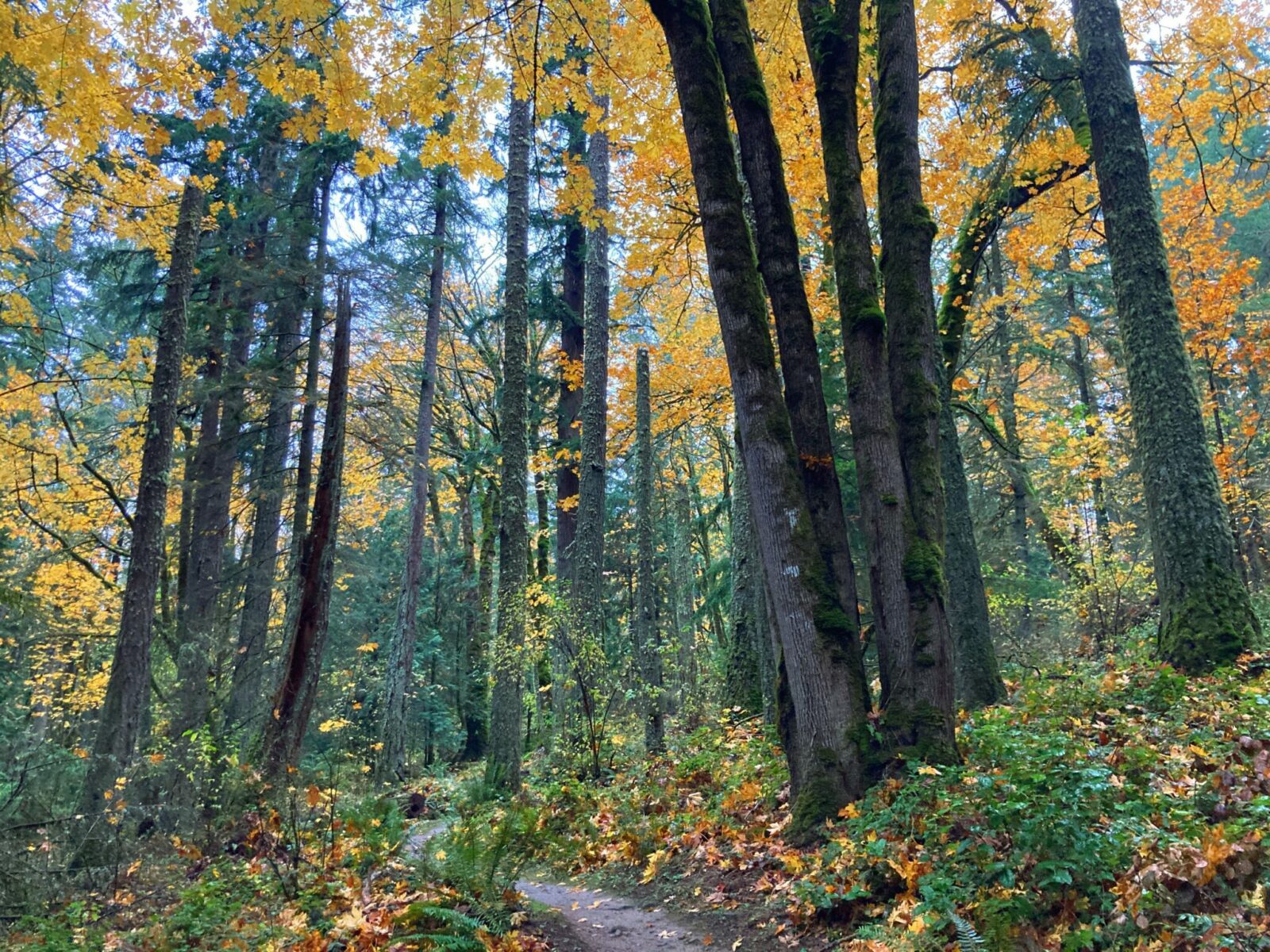
- Best season: All year! I like it in the fall when the golden colored trees mix in with the evergreen trees.
- Why it’s one of the best hikes in Issaquah: Not quite as busy as some of the other trails and lots of beautiful forest and a good workout. This is also a relatively new trail and is in excellent condition with fewer roots, rocks and stream crossings than some nearby.
- Watch out for: Mountain bikes, especially on weekends; freeway noise for the first half mile
- Distance: Up to 7 miles
- Elevation Gain: Up to 1100
- How to get there: There are a couple of places to start, I like to start on the south end which puts the climbing on first and then a descent going back. To get there, take I-90 to High Point (Exit 20) and go to the north side of the freeway. There’s a parking area right next to the freeway. If you’re taking the bus, from the Issaquah Transit Center (service to Seattle and Bellevue), take the 208 towards North Bend and Snoqualmie Ridge. Get off at I-90 and 270th Ave SE, walk under the freeway to the trailhead on your left.
- Parking and Transit: Parking is free here. The bus stops here too.
May Valley Loop
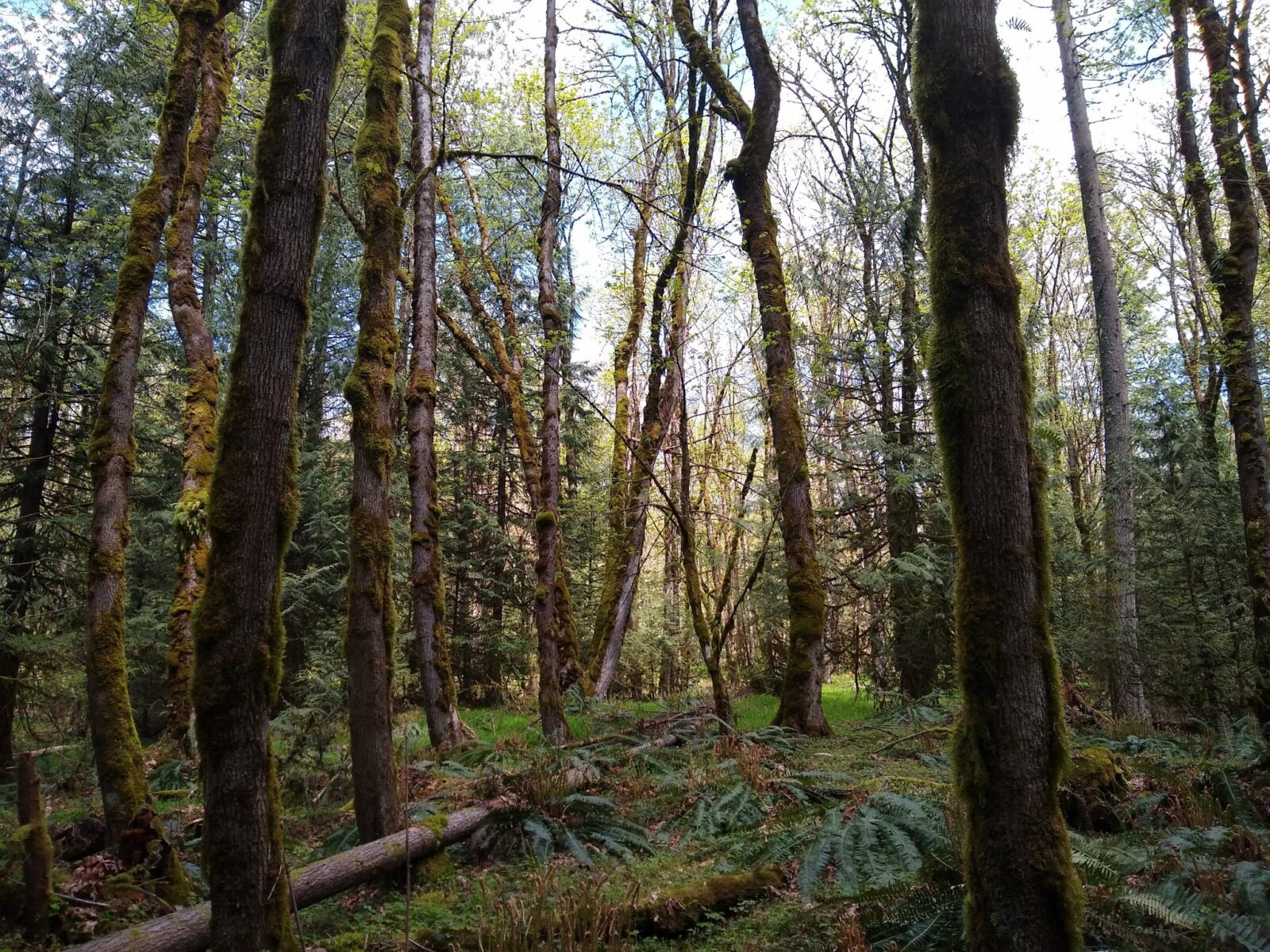
- Type of Hike: The May Valley Loop is a beautiful forested loop climb
- Best season: All year! This is a good option for hot summer days since it’s shaded the whole time. It’s also good for rainy days since it’s a forest hike and not a view hike.
- Why it’s one of the best hikes in Issaquah: A beautiful forest loop with far less people than many nearby hikes. I love this loop but there are many additional trails on Squak Mountain to explore.
- Watch out for: route finding, some junctions are slightly confusing, make sure to bring a map or take a picture of it with your phone.
- Distance: 6 miles
- Elevation Gain: 1000 feet
- How to get there: From Issaquah, head south on Front Street and head out of town. The road becomes Issaquah Hobart Road. Turn right on May Valley Road and the trailhead will be on your right. It’s marked with a sign for Squak Mountain State Park
- Parking and Transit: Parking requires a Washington State Discover Pass. Unfortunately, there is not bus service here.
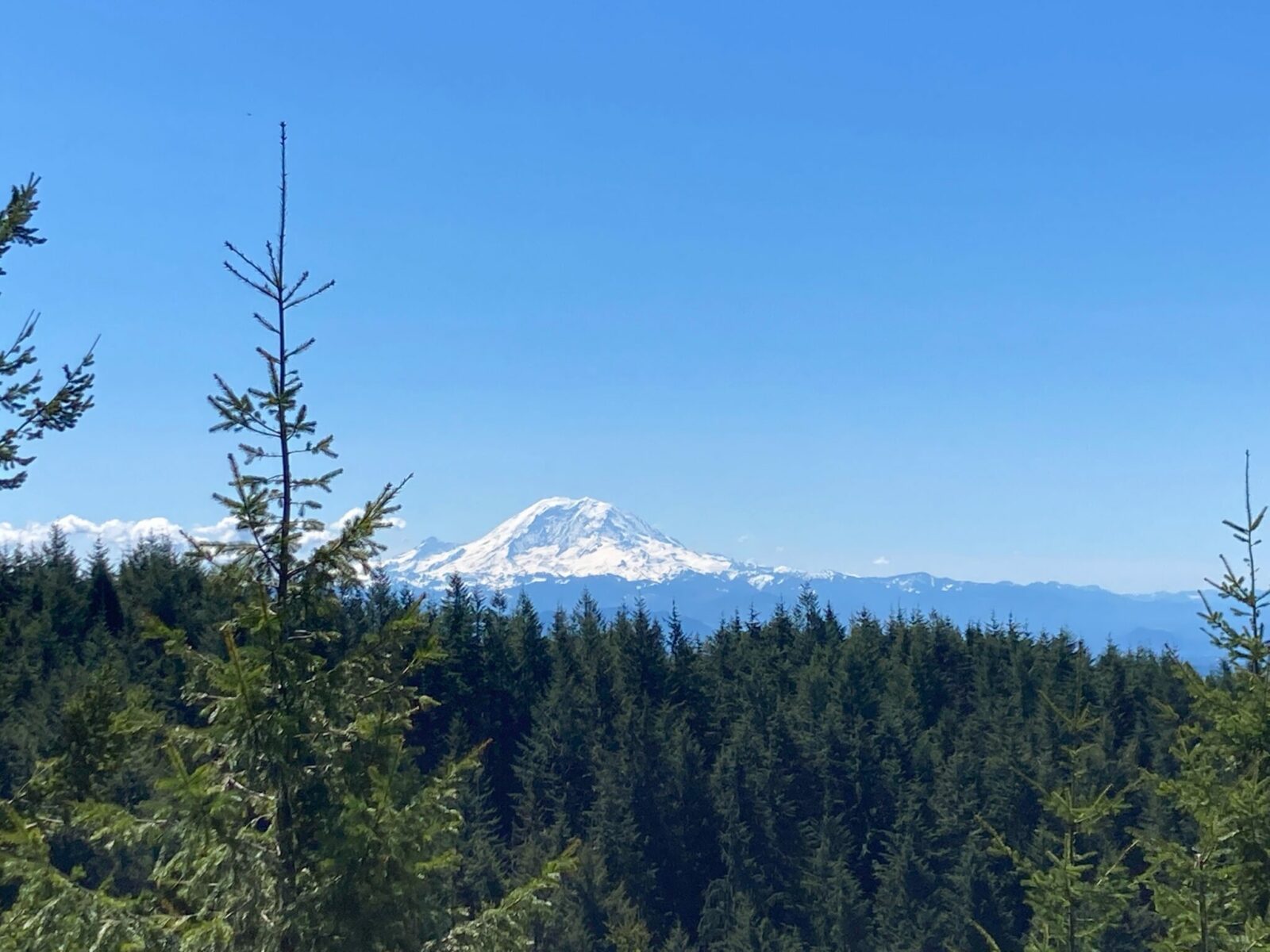
Poo Poo Point

- Type of Hike: Poo Poo Point is a forested climb to an impressive view of Issaquah, Bellevue, Seattle and the Olympic Mountains on clear days.
- Best season: All year! It is extremely busy all year long. Save it for a sunny day when you can see the view. A sunny day is fall, winter or spring is ideal for managing crowds and seeing the view.
- Why it’s one of the best hikes in Issaquah: This hike is absurdly popular and it’s easy to see why. A well maintained and challenging trail that can be done by beginners to a spectacular view with the added fun of frequent paragliders departing from the top. This is the best view hike of the hikes on this list!
- Watch out for: Crowds! And paragliders landing near the trailhead if you take the Chirico trail.
- Distance: 4 miles round trip (Chirico Trail) or 9 miles round trip (High School Trail)
- Elevation Gain: 1700 feet (Chirico Trail) or 1900 feet (High School Trail)
- How to get there: There are two different ways to get to Poo Poo Point, the Chirico Trail and the High School Trail. If you’re driving to Chirico, take I-90 to Front Street and head south through town and past the high school. The parking lot will be on your left. For the High School Trailhead, do the same except turn left on 2nd Avenue and then find the trailhead on your right. Regular transit service doesn’t go close to the trailhead but both trailheads are served by the Trailhead Direct Bus from the Issaquah Transit Center and Seattle park and rides.
- Parking and Transit: Free Parking at both trailheads is very challenging with fairly small parking areas. Consider an evening hike or go very early in the morning! If the Trailhead Direct Bus is running, this is a fantastic way to avoid parking and congestion.
Tradition Lake Loop
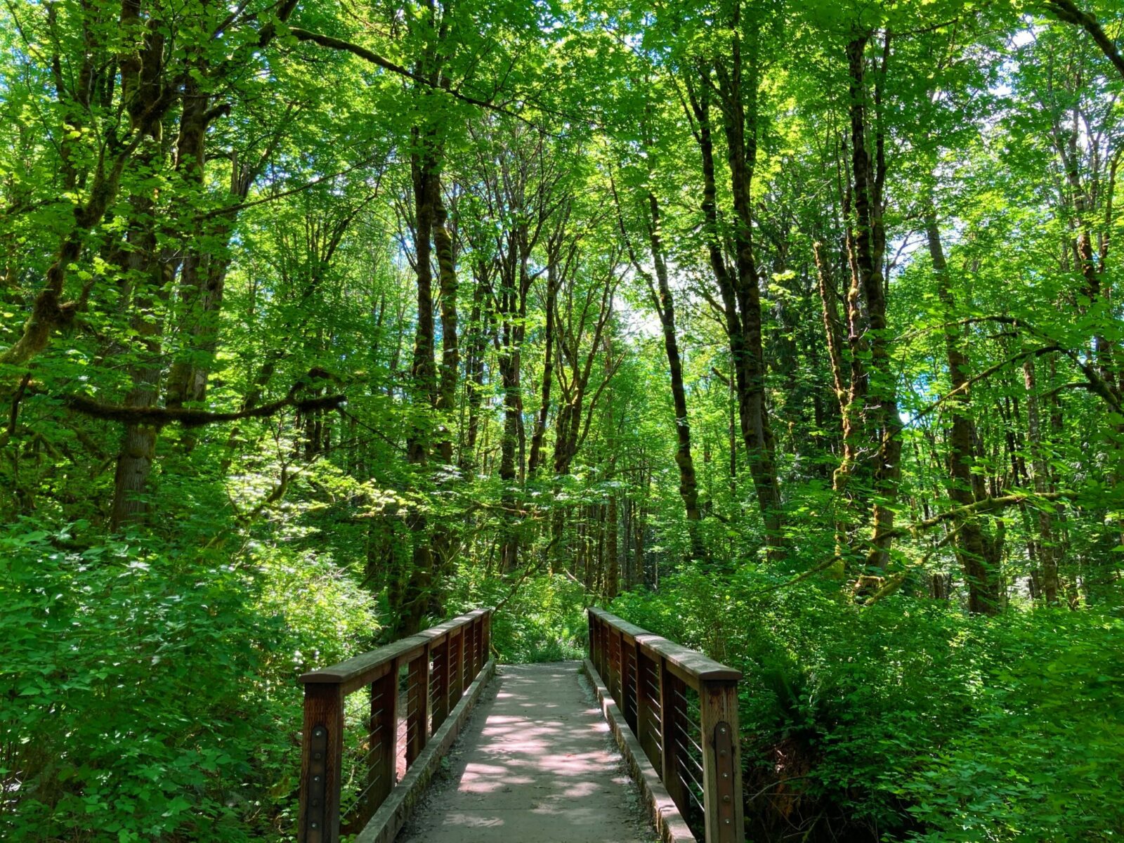
- Type of Hike: A mostly flat forest walk around a beautiful lake.
- Best season: All year
- Why it’s one of the best hikes in Issaquah: This is the only hike on this list other than Lake Sammamish that is mostly flat. Much of this trail is wide and graveled. Once you get on the trail it’s less crowded than the other trails that connect to it.
- Watch out for: Extreme crowding in the parking area, bring a map so you know where to go at the many trail junctions
- Distance: 4 mile loop
- Elevation Gain: 300 feet
- How to get there: Take Exit 20 from I-90 and follow the frontage road on the south side of the freeway. This will take you straight to the parking lot. The 208 bus from the Issaquah Transit Center will take you to the freeway exit, about a mile from the trailhead (same stop as for Grand Ridge)
- Parking and Transit: The parking lot requires a Washington State Discover Pass. The parking lot fills very fast and parking is a challenge. Try an evening hike or get there very early for parking. Transit access is not super convenient, but it is possible if you are willing to add an extra mile each way to the bus stop.
West Tiger #3 – or #1
- Type of Hike: Very popular forested hike to a view
- Best season: All year, however summer is extremely crowded! You won’t find solitude in the off season but you might find parking! Try for a sunny and clear day in fall, winter or spring. The hike is mostly shaded, but it’s nice to see the view!
- Why it’s one of the best hikes in Issaquah: West Tiger Mountain is extremely popular and it’s a well maintained trail through a lovely forest to a view. The view at West Tiger #3 is not as great as it used to be as more trees have grown up! You can still get some good views, or if you’re game to push on farther to West Tiger #1, you’ll see an even better and more open view. You can also get away from crowds this way as most people’s destination is West Tiger #3.
- Watch out for: Crowds
- Distance: 6 miles to West Tiger #3, 8 miles to West Tiger #1
- Elevation Gain: 2100 feet to West Tiger #3, 2900 feet to West Tiger #1
- How to get there: This is the same trailhead as the Tradition Lake hike. If you’re driving, take Exit 20 from I-90 and follow the frontage road on the south side of the freeway. This will take you straight to the parking lot. The 208 bus from the Issaquah Transit Center will take you to the freeway exit, about a mile from the trailhead (same stop as for Grand Ridge and Tradition Lake)
- Parking and Transit: The parking lot requires a Washington State Discover Pass. The parking lot fills very fast and parking is a challenge. Try an evening hike or get there very early for parking. Transit access is not super convenient, but it is possible if you are willing to add an extra mile each way to the bus stop.
Middle Tiger Mountain
- Type of Hike: Forested climb with solitude
- Best season: All year – this is great for hot days since it’s shaded by the forest, but also great for rainy days since it’s a forest hike without a view
- Why it’s one of the best hikes in Issaquah: If you’re looking for a hike that has easy, free parking and very few people then this hike is for you! There are no grand views, the forest and the solitude are the attraction here.
- Watch out for: mud, rocks and roots on the trail; bring a map as some of the trail junctions can be a bit confusing
- Distance: Up to 10 miles to the summit of Middle Tiger (the summit is forested so you don’t need to fear you are missing an amazing view if you turn around any time you like).
- Elevation Gain: Up to 2200 feet (again, you can turn around any time you like)
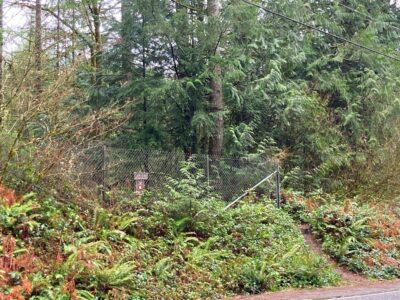
- How to get there: This trailhead is very near the High Point trailhead. It’s a little tricky to find. Take Exit 22 from I-90 and go to the south side of the freeway (right if you’re coming from Seattle or Bellevue, left if you’re coming from Snoqualmie Pass). Make an immediate right and then look for the trailhead just before the DOT facility. If you pass the DOT facility go back and look for the fence and small brown sign right next to DOT.
- Parking and Transit: Parking is free and there is room for just a few cars in the pullout on the side of the road. Unfortunately, there is not convenient transit access to this trailhead.