Hiking Guide to Wallace Falls State Park
Last Updated on December 5, 2024
Wallace Falls State Park is an extremely popular state park for hiking and camping near Seattle. There are several hike options here, from several different waterfalls to a loop to Wallace Lake and even backpacking opportunities. The most popular day hike here is the 4.5 mile round trip hike with 1500 feet of elevation gain to Middle Wallace Falls.
Wallace Falls is on the homeland of the Snohomish, Stillaguamish, Skykomish and other Coast Salish people.
Parking Pass: Washington State Discover Pass
Dog Friendly: Yes, on leash. Use extreme caution around the waterfalls.
Cell phone coverage: There is some coverage at the trailhead and for the first half mile and the occasional bar of service here and there but for the most part there is no cell service on this hike.
Restrooms: Flushing toilets including ADA accessible stalls at the trailhead. There is also a bit toilet near the junction of the Greg Ball Trail and the Woody Trail.
Accessibility and Mobility: This trail has some rocks, roots and mud but overall is in good condition and has less roots and rocks than many forest hikes in the greater Seattle area. The grade is consistent and definitely climbs but is not extremely steep. There are a some stairs here and there.
Related: What to wear for a hike in the Pacific Northwest, What to bring for a hike in the Pacific Northwest
Where is Wallace Falls?
Wallace Falls State Park is located in the small town of Gold Bar, Washington, along Highway 2 between Monroe and Stevens Pass. It is about an hour drive from Seattle and about 45 minutes from Everett without traffic.
When is the best time to hike Wallace Falls?
This is a very popular hike and it gets extremely busy on summer weekends, and on any sunny weekend all year. To get around this, head there on a summer evening or on a weekday, or during the fall, winter or early spring.
This is an excellent year round hike and a fantastic option for a rainy day hike, making it an especially good winter hike since it’s usually snow free. The falls are particularly impressive in late winter and early spring, when there’s lots of rain and snowmelt in the mountains.

Trail Description to Middle Wallace Falls
Middle Wallace Falls is the most popular destination along this trail and the most spectacular waterfall in the park. Start your hike behind the ranger station in the parking area and begin on a wide, flat gravel trail with powerlines to your left. In a short distance, you’ll go into the forest and reach a trail junction. Keep right here to go to Wallace Falls (left is for the Railroad grade).
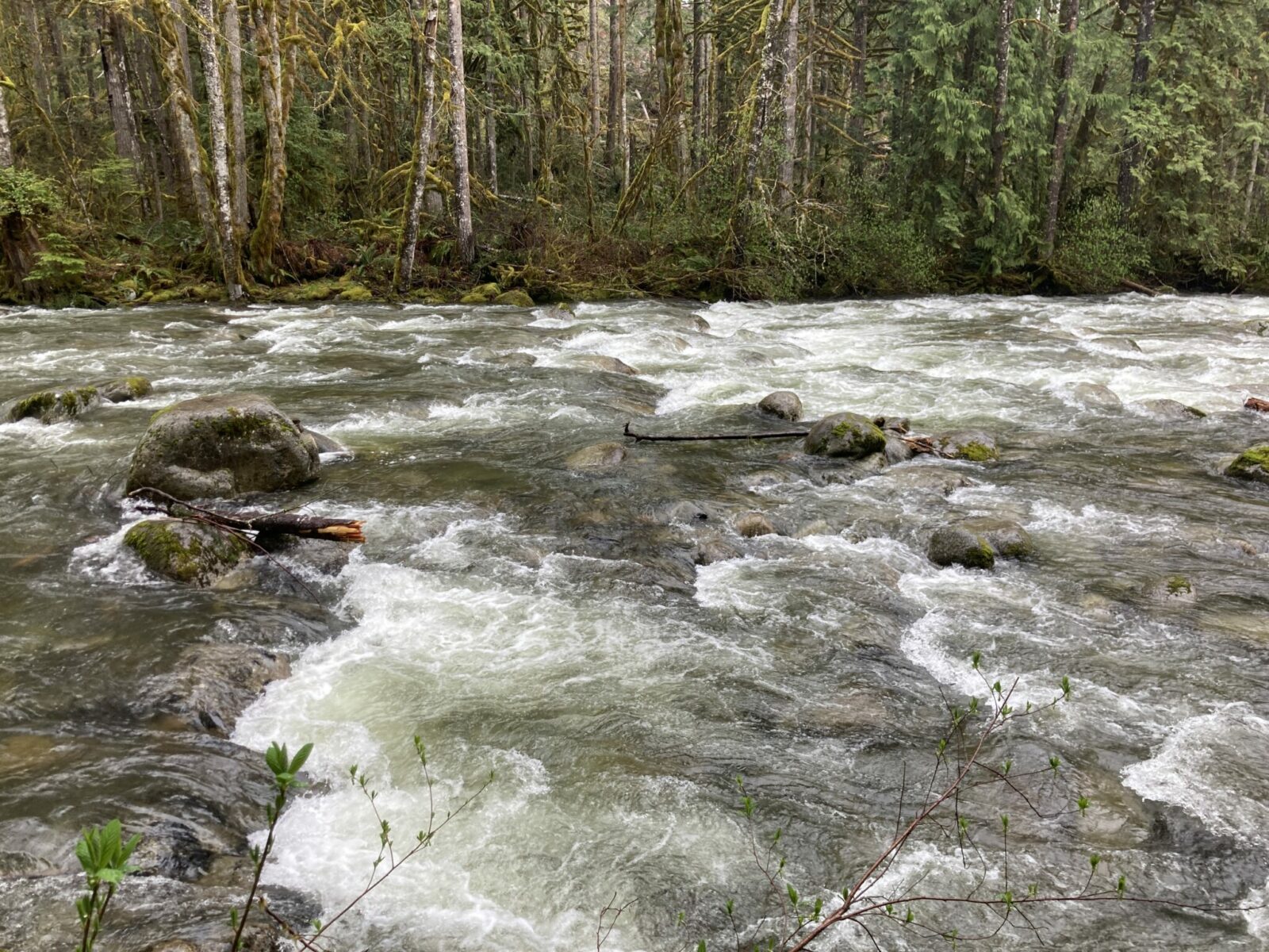
At this point, you’ll be hiking on the Woody Trail through a beautiful forest along the Wallace River. The first mile or so has a very gentle grade right next to the river.

In just over a mile, you’ll come to a junction with the Greg Ball trail. Keep right here for the waterfalls (left goes up to Wallace Lake, see below). Now the trail gets a bit steeper as it continues to climb through the forest a bit further from the river. Even though you can’t see the river from the entire trail, you can always here it which makes the perfect soundtrack to this magical Pacific Northwest forest of trees, moss and ferns.

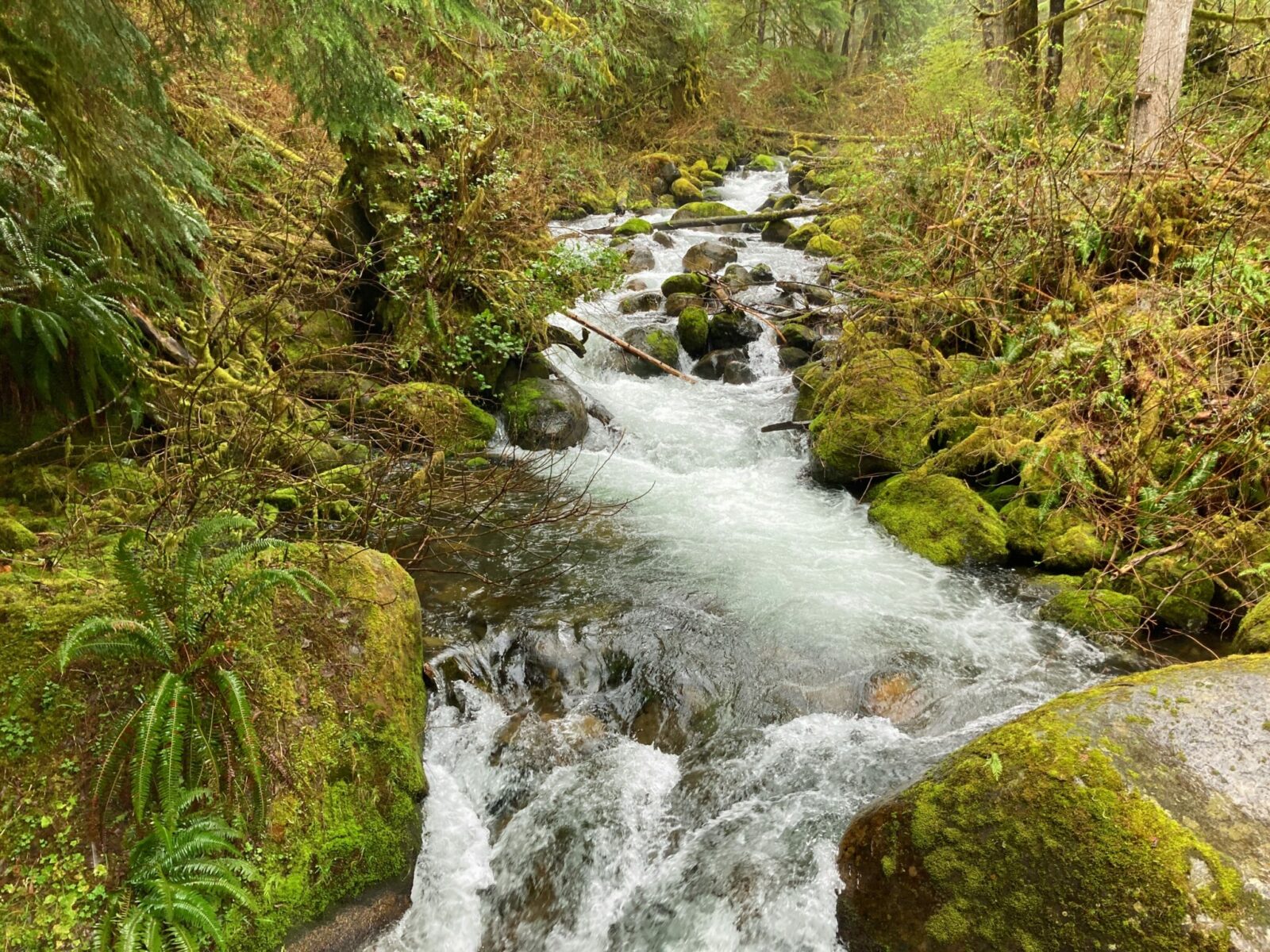
You’ll also encounter a couple of stream crossings on sturdy wooden bridges with even more rushing water, moss and ferns.

Just under two miles from your starting point, you’ll reach a covered picnic area and a viewpoint for Lower Wallace Falls. This is a great place to stop for a snack if it’s a rainy day. The platform gives you a view of two parts of Lower Wallace Falls.

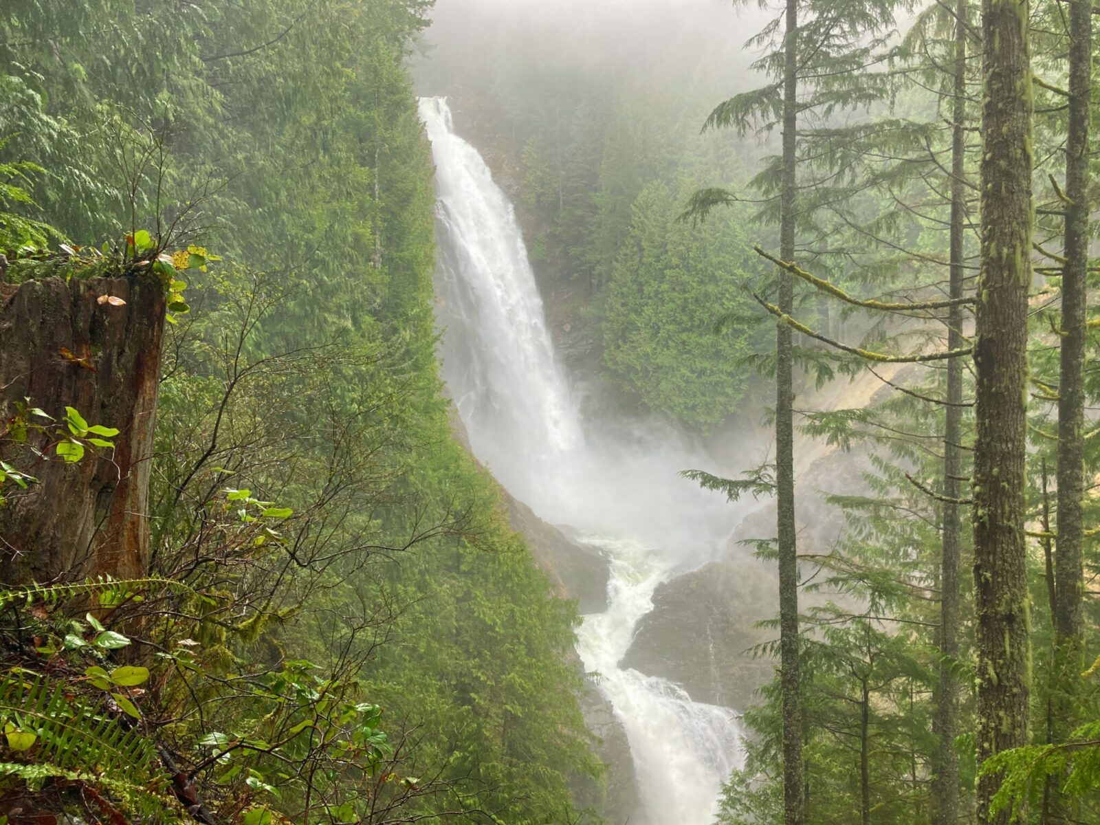
From here, you’ll go up several switchbacks for just under half a mile before you arrive at an absolutely stunning viewpoint of Middle Wallace Falls.

This is a wonderful turn around point and the most popular destination in the park. If you still have time and energy, then you can extend your hike up further to Upper Wallace Falls or Wallace Lake.
Extending your hike
If you’re looking for more, continue up another steep three quarters of a mile to Upper Wallace Falls and a viewpoint on clear days. This makes the total hike just under 6 miles round trip
If you want to add going up to Wallace Lake, take the Greg Ball Trail (you’ll reach this junction on the Woody Trail). From the parking lot up the Woody Trail to the Greg Ball Trail to Wallace Lake is just over 8 miles round trip with about 1500 feet of elevation gain. You can also make it a loop by going one way on one of the shared use (with mountain bikes) DNR roads. Check out the map carefully at the trailhead if you’re planning to do the loop.
Looking for an overnight backpacking adventure? You can camp at Wallace Lake and Jay Lake, just a bit further beyond. Make sure to get a permit from the rangers before starting your hike.
Where to stop after your Wallace Falls hike
If you’re looking for a fun stop after your hike, heading back to Seattle or Everett, make sure to stop at the Sultan Bakery. It’s a bakery but also has delicious food! There are several breweries in Monroe worth a stop and the many excellent wineries in Woodinville are on your way home too.
Electric Vehicle Charging
The nearest fast charging for EVs is in Monroe, 15 miles away.


